
Of all the things Mark Twain supposedly said at one time or another, perhaps the most insightful was this: “Whiskey’s for drinking — water’s for fighting.”
What this means, of course, is that fresh water is our most precious natural resource. Yet you’d never know it, given the cavalier way in which we treat many of our watersheds.
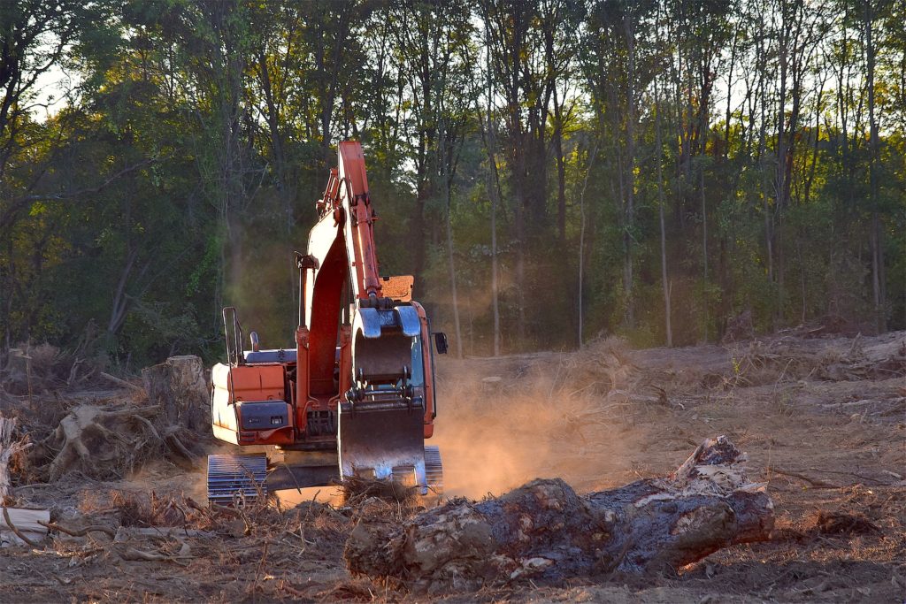
Watersheds are critically important because everything that accumulates in them eventually runs off into other bodies of water. If you allow them to become polluted or fall into disrepair, they could contaminate any number of other water sources as well.
Sadly, though, many of our watersheds are in bad shape today. What’s worse, many water conservation projects are being discontinued, such as the watershed resource program of the Florida Department of Environmental Protection. That’s not the fault of the organizations on this list, however, as each of them is doing critically important work in protecting our waters.

6 Watershed Protection & Restoration Organizations Doing a Good Job
1. Center for Watershed Protection
While this Maryland-based organization has spent countless hours developing common-sense regulations and monitoring the health of America’s watersheds, its most critical work may well be its educational outreach. The CWP has published over 250 manuals and reports on watershed management, taught communities how to identify polluters, and even established a professional membership program for watershed experts.
2. California Watershed Network
One of the biggest problems facing watershed protection efforts is a disconnect between legislators and the communities they represent. The California Watershed Network bridges that gap by hosting local forums, providing action alerts for related watershed groups, and helping draft effective environmental legislation.
3. Colorado Watershed Assembly
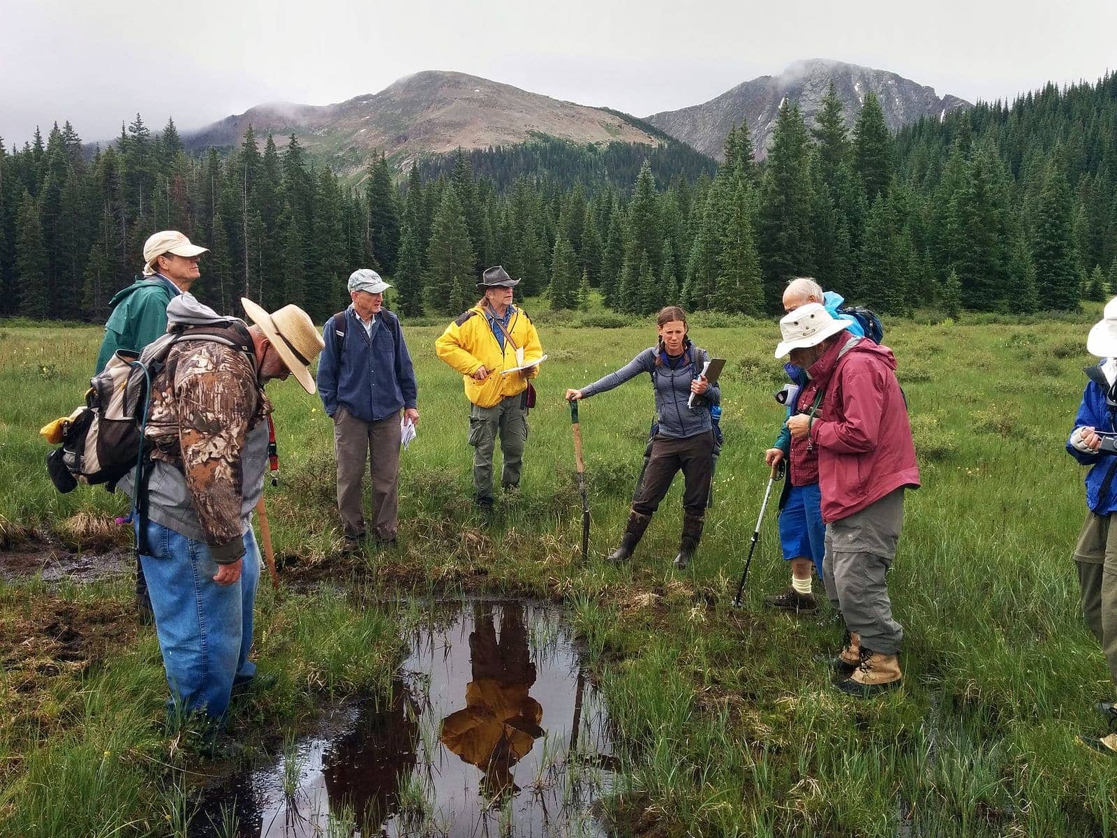
The Colorado Watershed Assembly recognizes that government action isn’t sufficient for protecting and restoring our watersheds; rather, grassroots efforts are sorely needed as well. The CWA focuses primarily on local issues, including educating regular citizens about their responsibilities as local stewards of their waterways and equipping them with the resources they need to protect them.
4. Environmental Protection Agency
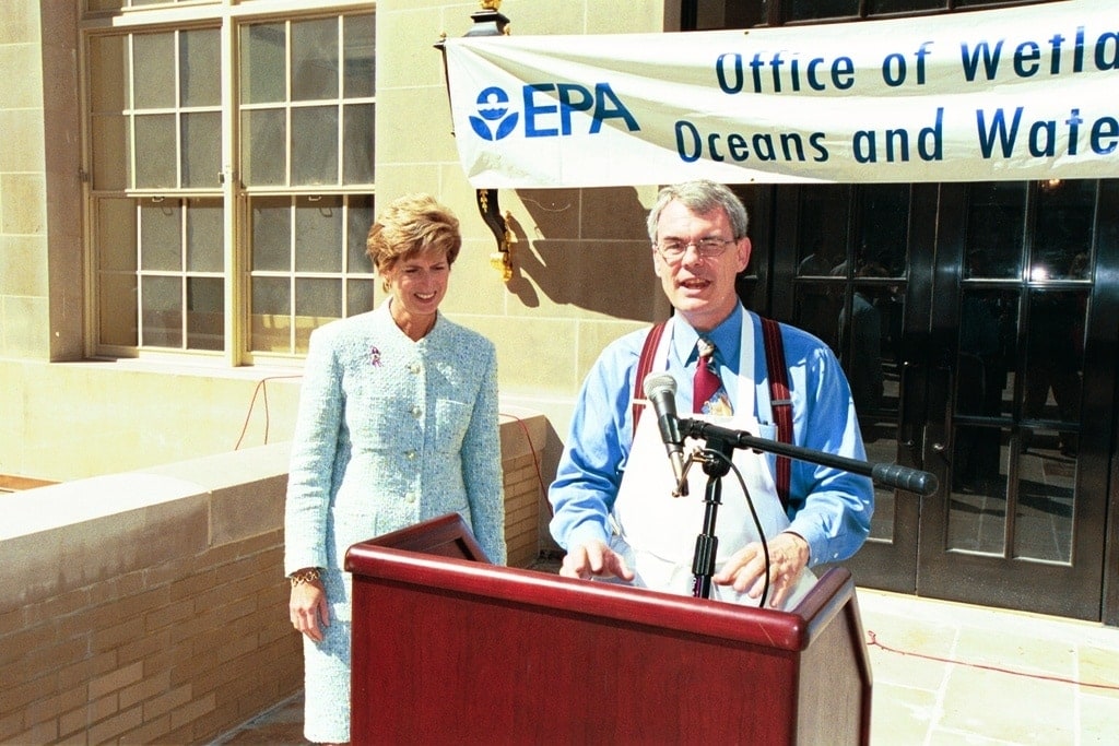
The EPA recently started the Healthy Watersheds Program, which seeks to coordinate regional, state, and local efforts to protect at-risk bodies of water. They recognize that protecting watersheds starts with healthy landscape management, and they work with both governmental and private entities to ensure that contaminants are never allowed in our watersheds in the first place.
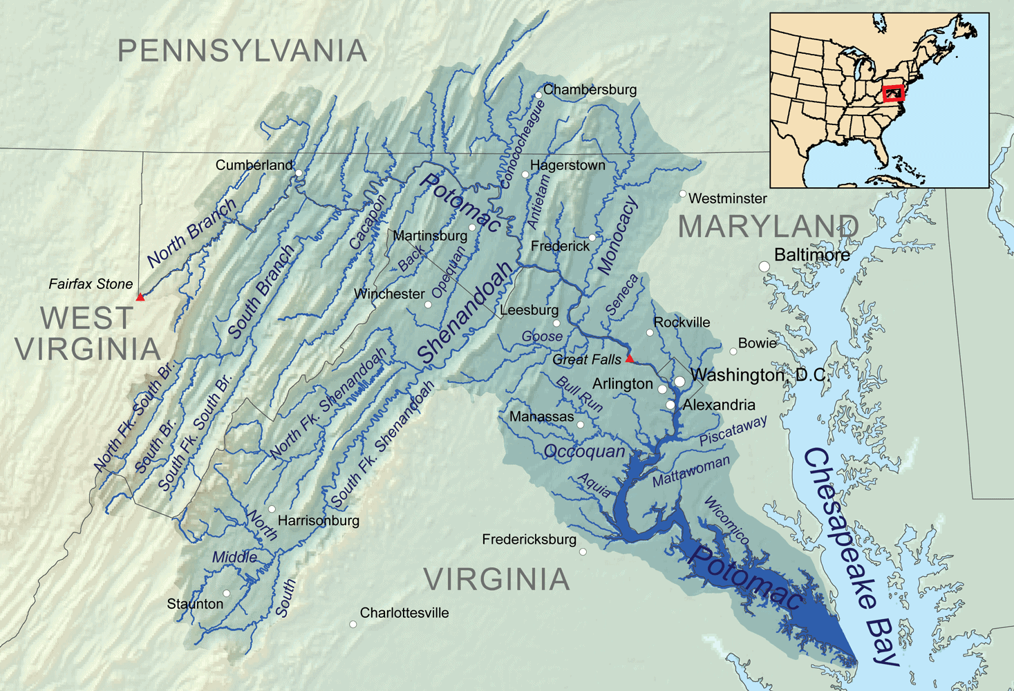
5. William Penn Foundation
The WPF’s goal is to keep the Delaware River’s watershed clean and healthy; to that end, they fund grants and other projects designed to clean and beautify the river and its banks. Their primary goals are to prevent forested headwaters, stormwaters, and agricultural run-off, as well as to stop the continued depletion of underground water sources.
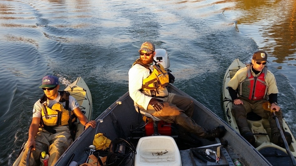
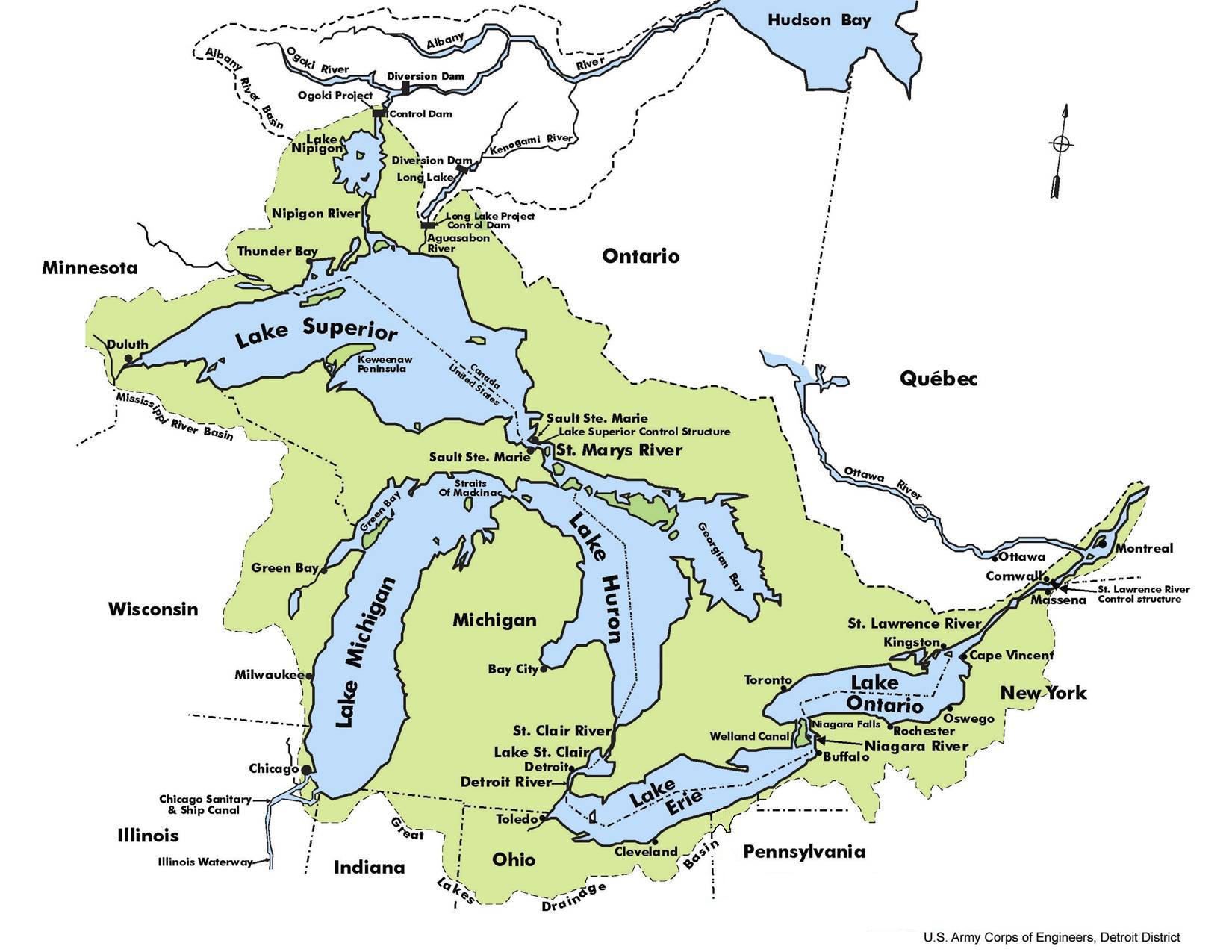
6. Lake Erie Watershed Protection Alliance

Get Involved
While the organizations on this list are undoubtedly doing great work protecting our watersheds, their efforts aren’t going to be enough without the support of everyday citizens.
If you’re passionate about the health of our water sources, contact one of these organizations (or an organization just like them) and ask how you can get involved. Many are run completely by volunteers, and they’d undoubtedly welcome your assistance.
After all, the fight for keeping our water safe and healthy is only beginning.
- See Also: Our rundown of the top 10 best water filters
- See Also: Our favorite filtered water bottles
Header image credit: Pixabay
Contents